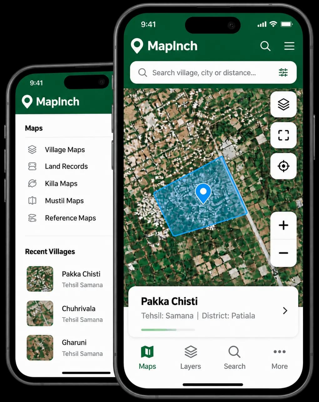
Manage Maps.Locate. View. Organize.
Mapping every inch of your world. Map, visualize, and understand your land with powerful geospatial tools built for precision, clarity, and smarter decisions.
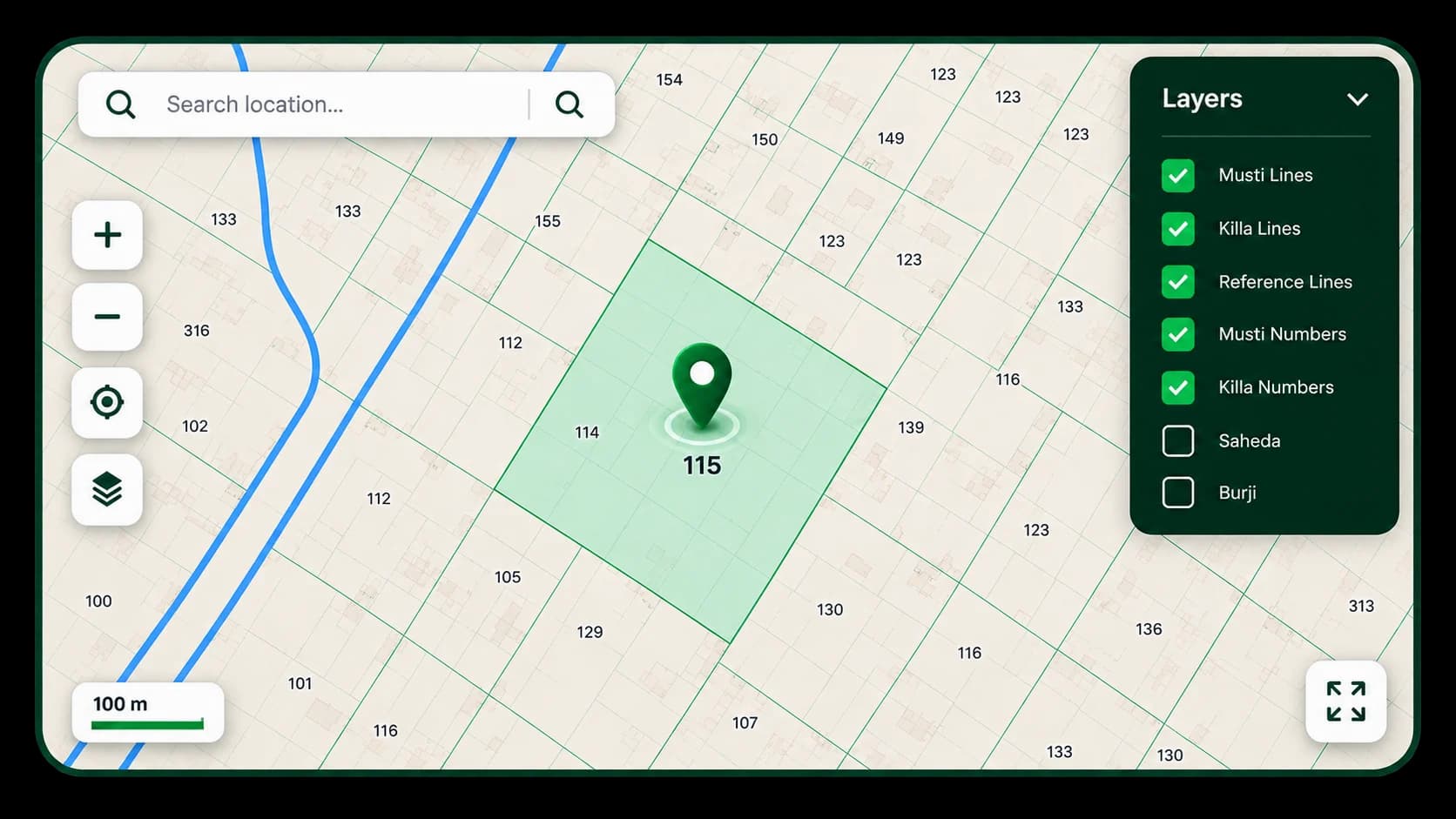
Everything You Need to Manage Village Maps
Powerful tools to organize, manage and access village maps with ease.
How MapInch Works
Simple steps to manage your village maps with ease.
Select Location
Upload Maps
View & Manage
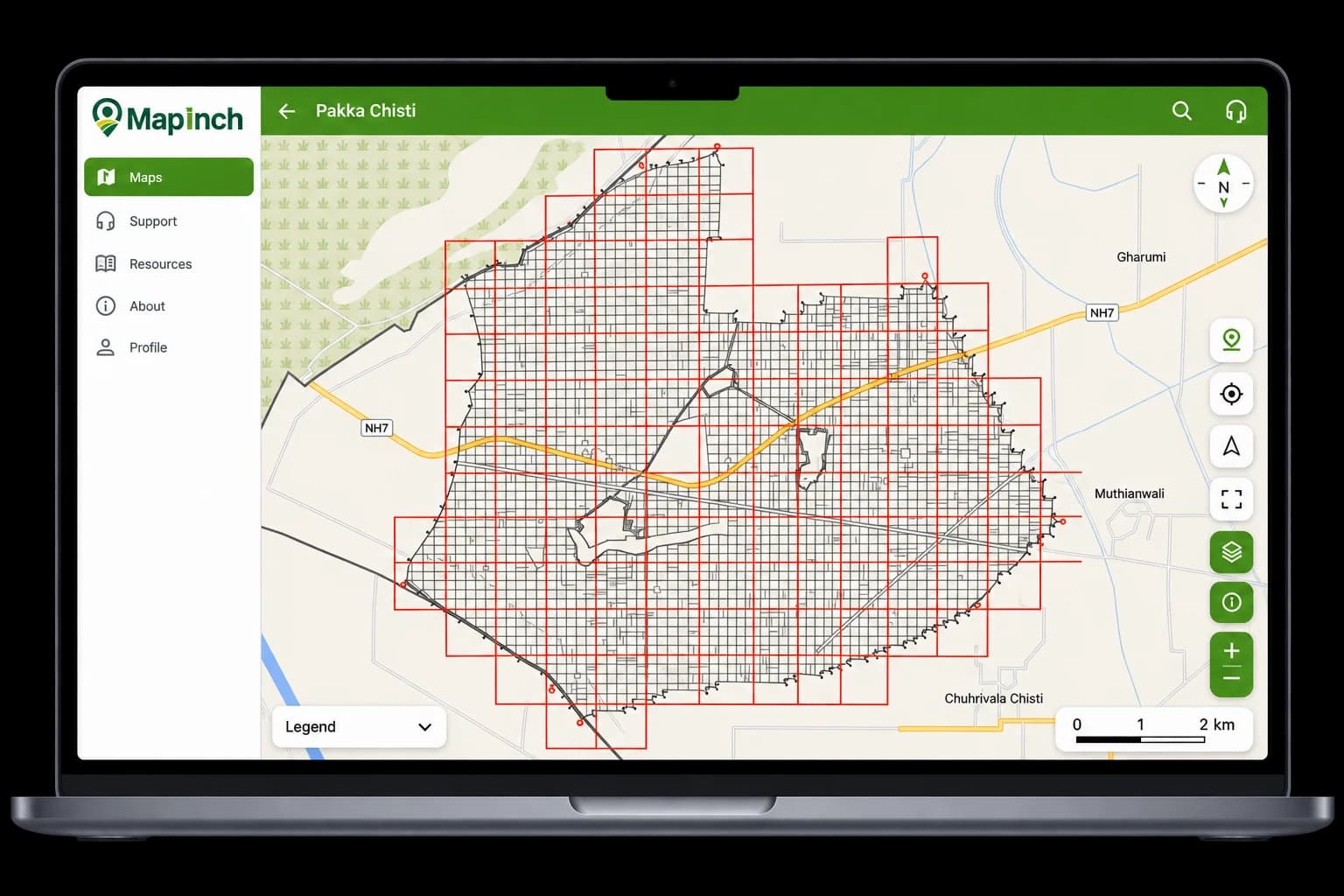
A Map Viewer Built
for Village Maps
Explore village boundaries, parcel information, geographic references and multiple map layers — all in one place.
Multiple Map Layers
View and toggle different map layers easily.
Search & Locate
Find Mustil, Killa or locations quickly.
Mustil & Killa Boundaries
View clear boundaries and parcel details.
Geographic References
Explore map information with location context.
Fast & Accurate
Get location and parcel information in seconds.
Multiple Data Layers
View Mustil, Killa and reference lines together.
Better Planning
Make informed decisions with real map data.
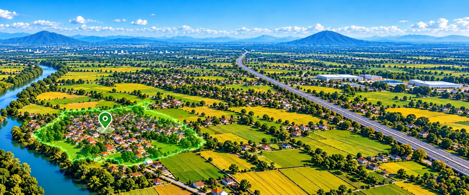
Your Geography, Organized
Organize locations into a clear geographic hierarchy so you can quickly find the village and map information you need.
Regional boundary & primary administrative authority
District jurisdiction & land revenue records administration
Tehsil division overseeing local field patwari circles
Cadastral village maps with Mustil & Killa parcel grids
Turn Complex Geography
Into Clear Insights
Access detailed village maps, boundaries and land information with the tools you need to understand geographic data faster.
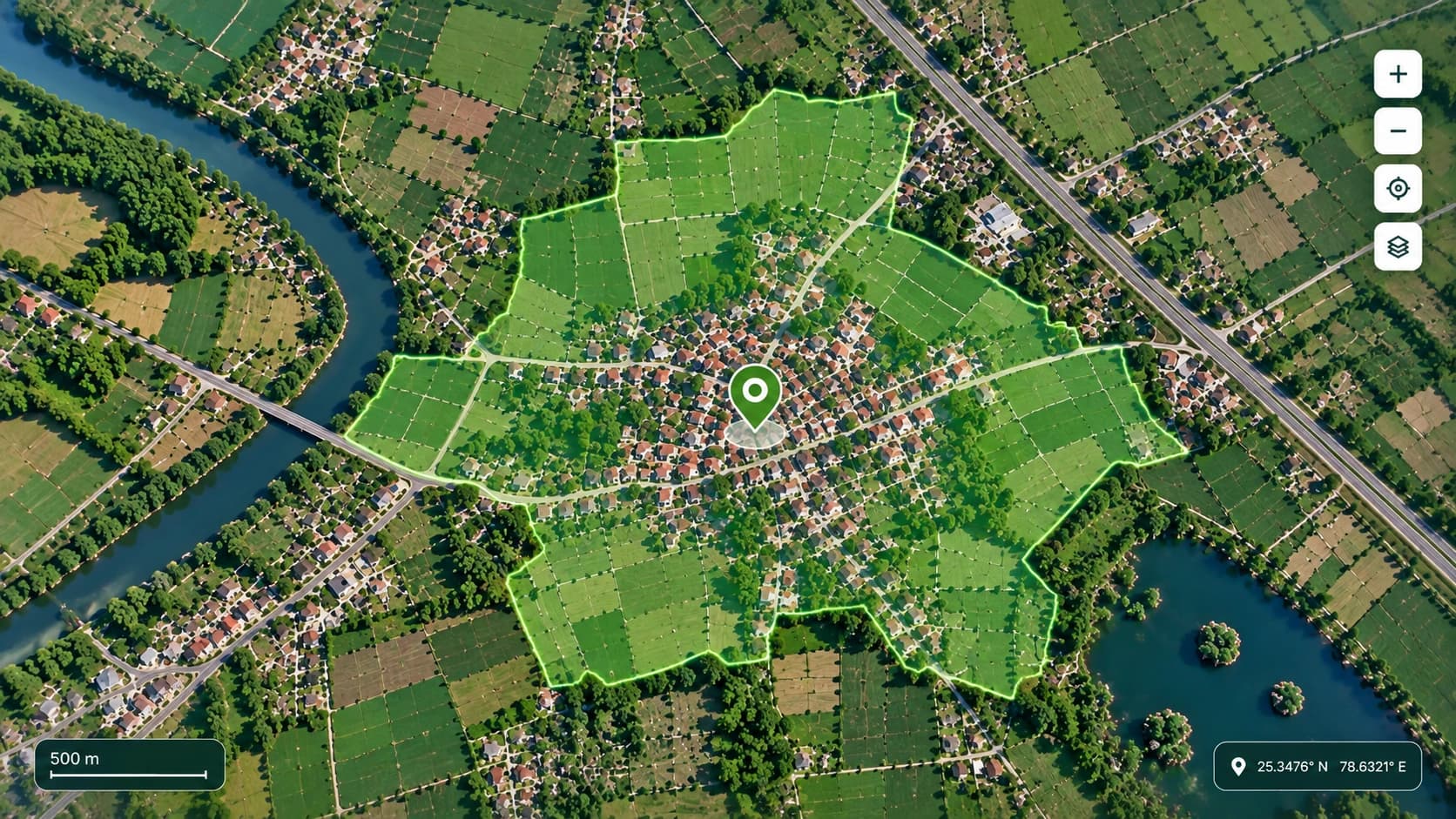
Detailed Maps
Quick Search
Multiple Layers
Geographic Context
Built for the Work
Behind Every Map
From land records to infrastructure planning, MapInch helps professionals work with geographic information clearly, efficiently and confidently.
Revenue & Land Records
Access and visualize village maps, boundaries and land information.
Irrigation & Water Management
Work with geographic information for planning and managing water resources.
Survey & GIS
Support field surveys, geographic analysis and map-based workflows.
Planning & Infrastructure
Bring geographic context into planning and infrastructure decisions.
Real Feedback from Real Users
Trusted by revenue officers, patwaris, surveyors, and GIS specialists managing digital land records across Punjab.
“MapInch has transformed how we inspect village maps and land boundaries in the field. Identifying khasra numbers and verified coordinates on mobile saves our revenue team hours during daily field verifications.”
Ankur Sharma
Patwari, Punjab
“The accuracy of the digitized cadastral layers and instant village search simplifies boundary demarcation immensely. Having reliable geospatial overlays right alongside official revenue records is a game-changer.”
Gagan Singh
Tehsildar, Punjab
“Planning canal alignments and inspecting watercourse boundaries along village plots is much faster with MapInch. The overlay of irrigation channels over cadastral maps gives us complete clarity on ground.”
Harpreet Singh
Irrigation JE, Punjab
“Supervising patwari field circles and resolving border disputes has become straightforward. Accessing geo-referenced village nakshas and mustil numbers in real-time ensures accurate land administration.”
Manpreet Kaur
Kanungo, Punjab
“As a survey officer handling field demarcations, switching between high-resolution satellite imagery and village layout maps is seamless. MapInch delivers precision when measuring plot dimensions on ground.”
Jaspreet Singh
Survey Officer, Punjab
Frequently Asked Questions
Everything you need to know about MapInch and managing village maps.
MapInch is a digital mapping platform designed to help users manage, view, organize, and access geographic and village map information through a modern digital experience.
Your Maps.
Wherever You Work.
Access village maps, geographic information and your MapInch workspace on the go.