Transforming Geographic Datainto Clear Insights
MapInch LLP is building a modern geospatial platform designed to help professionals and organizations manage, visualize, and work with maps and geographic information with ease.
Building a Smarter Geospatial Future
We believe accurate and accessible geographic information creates a stronger foundation for planning, governance and sustainable development.
Our Vision
To be a trusted platform for digital map management and geospatial insights.
Our Mission
To provide simple, powerful tools for managing village maps, land records and geographic information.
Our Values
Accuracy, transparency, innovation and user-centric design in everything we build.
Built for Real-World Impact
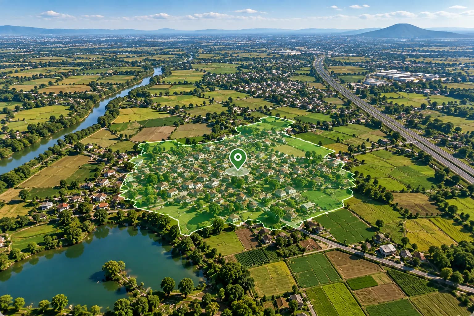
MapInch was created with a clear goal — to make geographic information easier to access, understand and use.
By combining modern digital technology with practical mapping workflows, MapInch bridges the gap between traditional land records and modern GIS intelligence, empowering teams across regions to make confident, well-informed decisions.
Developed with domain expertise
Engineered specifically for complex village and land cadastral structures.
Designed for professional use
Built for revenue departments, planning teams, and GIS specialists.
Continuously evolving with user feedback
Refined directly through field requirements and day-to-day practitioner insights.
Empowering Professionals Across Geospatial Work
MapInch is designed for people who work with geographic information every day, simplifying map management and accelerating mission-critical decisions.
Revenue Departments
Streamline village cadastre records, Mustil lines, and ownership boundary verification.
Irrigation Departments
Analyze catchment zones, canal networks, and water infrastructure with spatial context.
Planning Departments
Evaluate regional development, rural infrastructure, and master plan parcel allocations.
Survey & GIS Professionals
Manage multi-layer geo-referenced datasets, boundary benchmarks, and coordinate systems.
A Modern Platform
for Geospatial Data
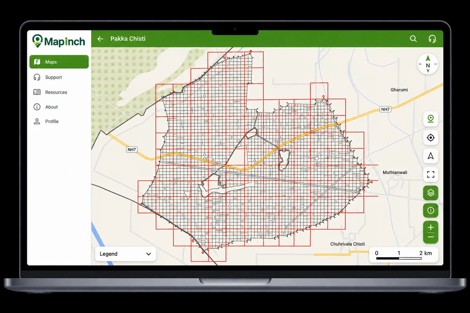
MapInch brings together accuracy, simplicity and powerful visualization to help users manage maps and land information more efficiently. Built with modern technology, it ensures a secure, reliable and seamless mapping experience.
Supporting Better
Governance with Technology
We are committed to building tools that make geographic information more accessible, reliable and useful for a better-informed tomorrow. By empowering administrators, survey experts, and civic planners with uncompromising spatial accuracy, we help build resilient, future-ready governance systems.
Active Users
Trusted by individuals, businesses and government users
Maps Uploaded
Digitized and organized village maps
Villages Added
Expanding digital map coverage across regions
Your Maps.
Wherever You Work.
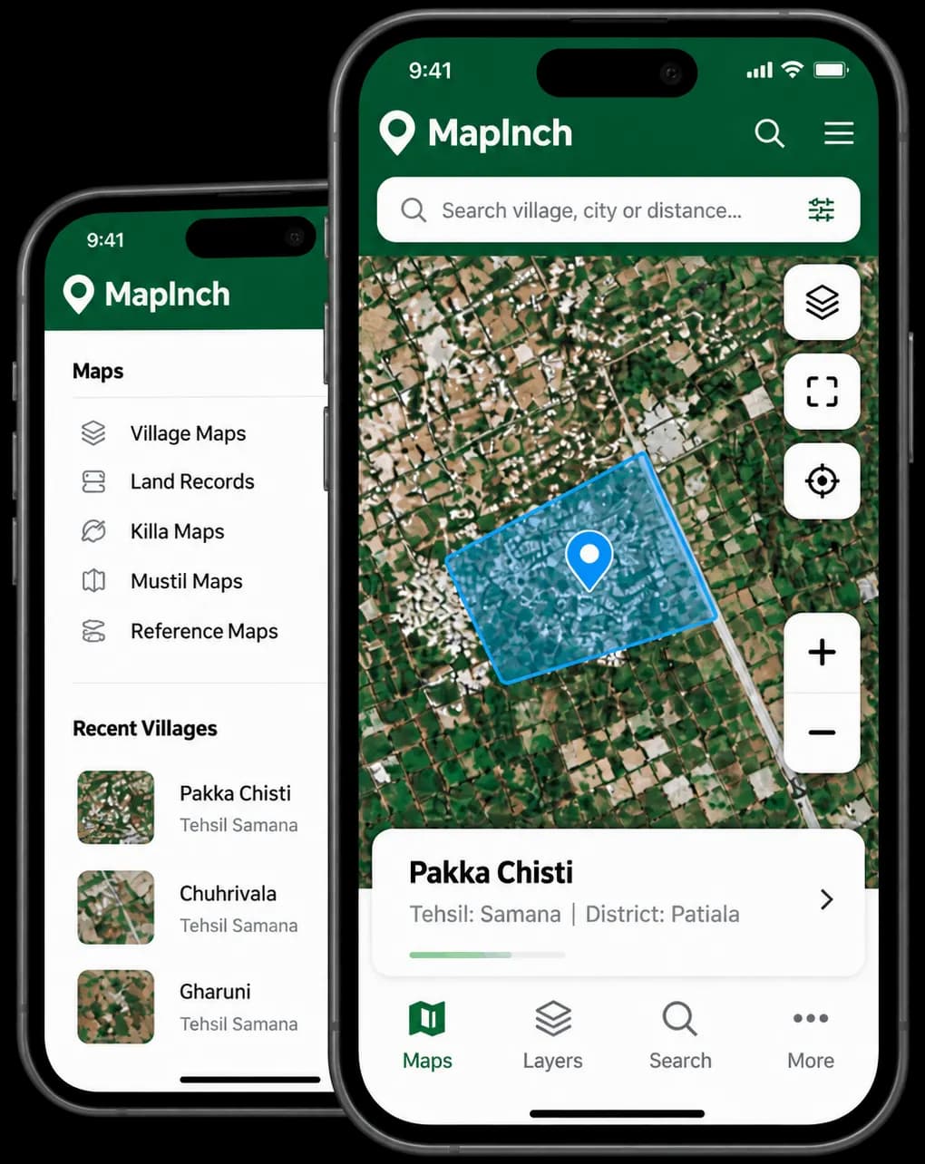
Access village maps, geographic information and your MapInch workspace on the go.